
Landscape Strategy
Palace Fields – The Uplands
Palacefields – The Uplands Landscape Masterplan re-imagines an existing residential neighbourhood by creating a people first public realm that promotes community wellbeing, environmental sustainability and active lifestyles.
Project Overview.
The proposals transform underutilised streets and open spaces into a connected network of vibrant public places, improving accessibility, safety, biodiversity and neighbourhood identity while strengthening connections to Town Park, Shopping City, Halton General Hospital and surrounding communities.
The masterplan prioritises inclusive design, creating attractive outdoor environments that encourage walking, cycling, recreation and social interaction for people of all ages.
Key Landscape
Features.
- Green Avenue linear park
- Segregated cycle routes
- Community gathering spaces
- Natural play areas
- Tree-lined streets
- Rain gardens and swales
- Woodland enhancement
- Biodiversity corridors
- Improved pedestrian crossings
- Gateway landscape features
- Public seating and cycle parking
- Public art integration
- Wayfinding and signage
- High-quality streetscape design
- Native planting strategy
- Inclusive public realm
- Green infrastructure network
- Busway crossings at grade
Project Information.
-
Project Name
Palacefields – The Uplands
-
Location
Palacefields, Halton, Cheshire, United Kingdom
-
Sector
Residential Regeneration & Public Realm
-
Project Type
Landscape Masterplan & Public Realm Design
-
Status
Landscape Strategy
-
Project Stage
Masterplan / Design Proposal
-
Project Budget
Not Publicly Available
-
Scope of Work
Landscape Master Planning, Public Realm Design, Streetscape Design, Green Infrastructure, Active Travel Network, Sustainable Drainage Systems (SuDS), Urban Greening, Biodiversity Enhancement, Placemaking, Community Spaces & Play Areas
Our Gallery.
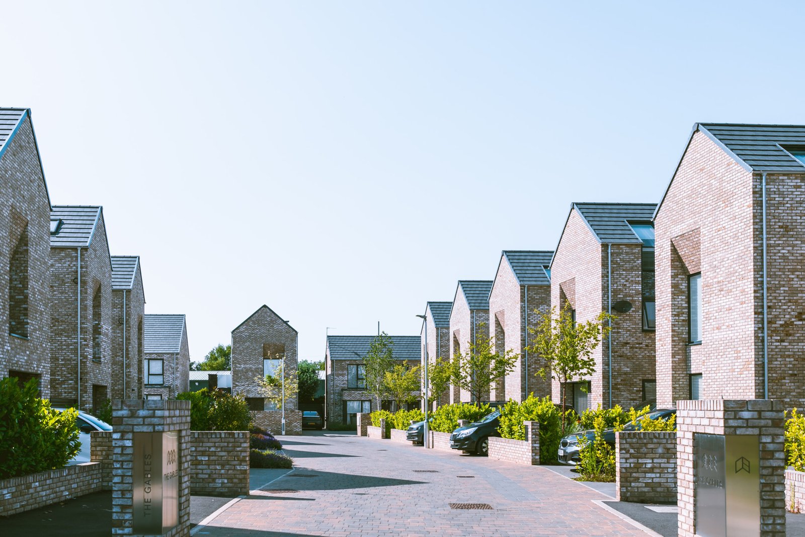
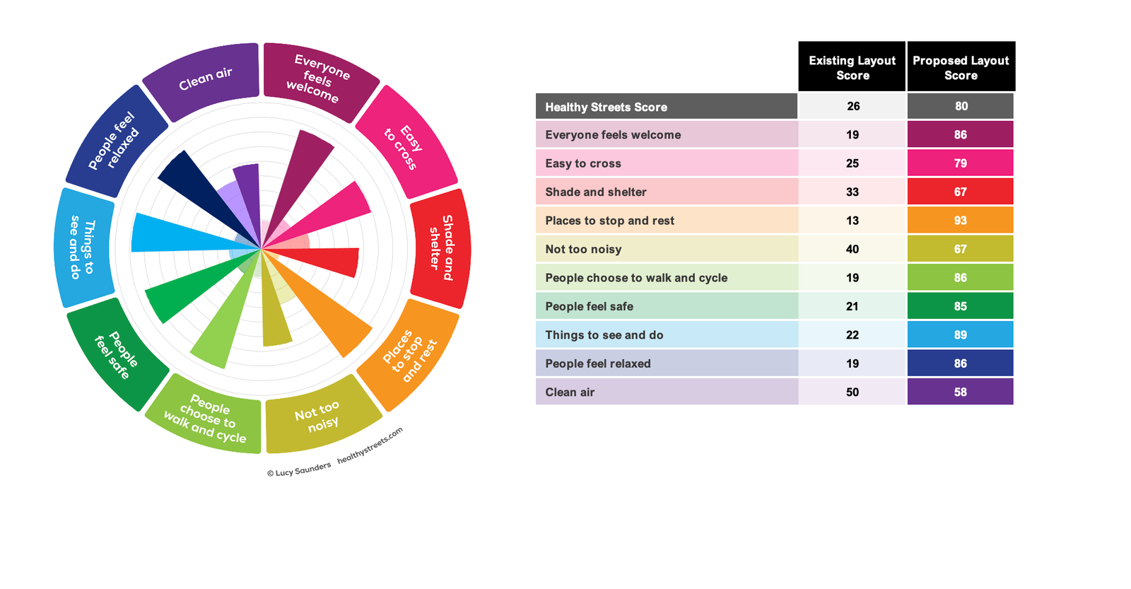
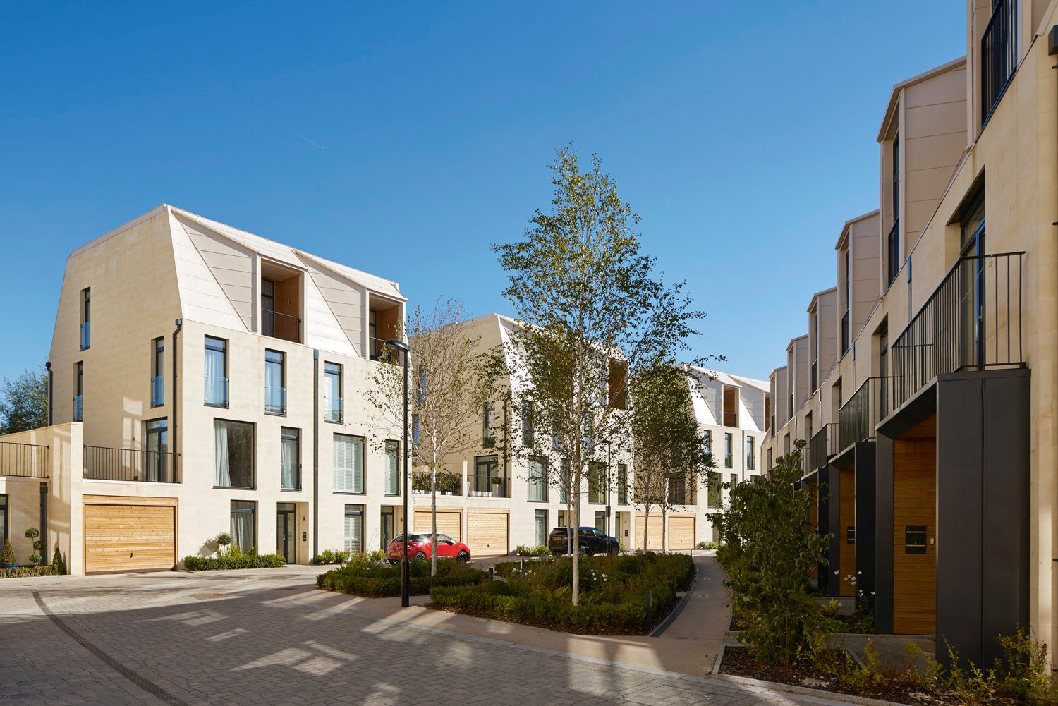
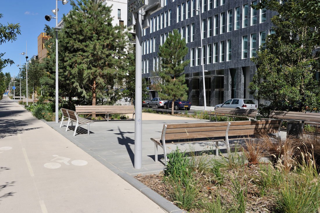
Landscape Design.
The landscape strategy establishes a clear hierarchy of streets and public spaces centred around the Green Avenue, which serves as the primary north–south green corridor through the development.
East–west Urbanways strengthen pedestrian connectivity across the neighbourhood, while new public squares, play areas, community spaces, tree-lined streets, cycle routes and upgraded crossings create a safe, attractive and legible public realm.
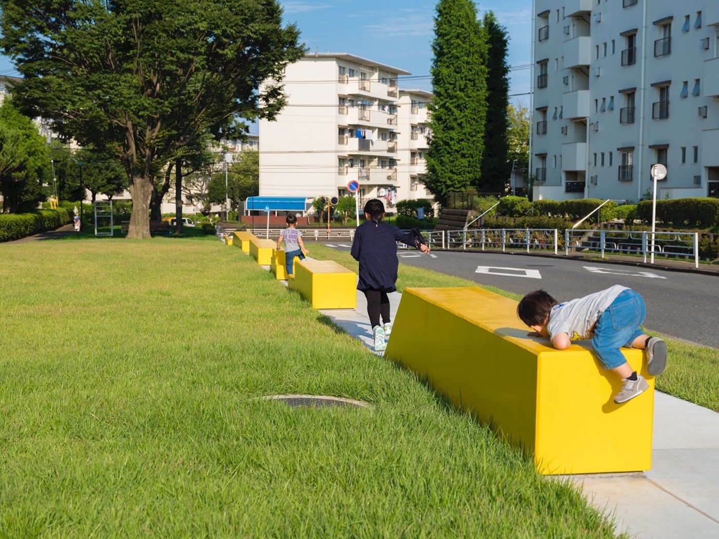
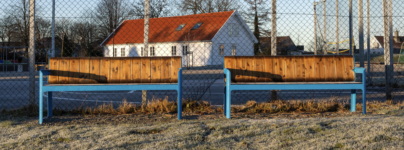
The proposals also introduce a consistent landscape character, improved boundary treatments, high-quality materials and integrated street furniture to reinforce a strong sense of place and increase community pride.
Placemaking.
The masterplan creates welcoming public spaces that encourage community ownership and everyday social interaction. Flexible gathering spaces, natural play areas, civic streets, attractive green corridors and improved public realm strengthen neighbourhood identity while supporting a wide range of recreational and community activities.
Wayfinding, public art, coordinated planting and a consistent material palette help establish a memorable landscape character that celebrates the area’s green identity and enhances residents’ quality of life.
Sustainability
.
Sustainability is embedded throughout the masterplan through the use of green infrastructure, biodiversity enhancement, sustainable drainage systems (SuDS), rain gardens, swales, native planting, woodland enhancement and climate responsive landscape design.
Low-maintenance planting strategies, improved ecological connectivity, increased tree planting and integrated blue-green infrastructure contribute to long-term environmental resilience while reducing maintenance requirements and supporting healthier communities.